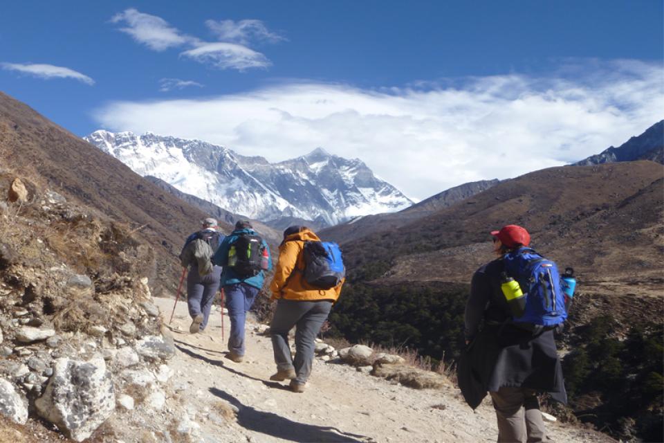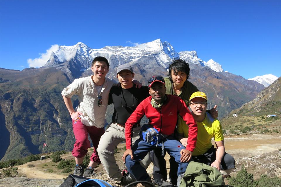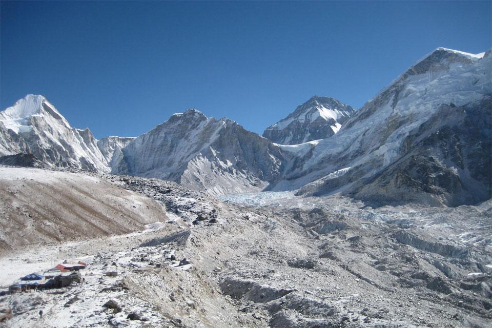
Everest Base Camp (EBC) Trek is one of the most famous in the world and is on every serious trekker's bucket list. Every year, thousands flock to Nepal to get a chance to see the majestic Everest viewpoint, amongst the Himalayans. Whether you have a tour set up already, you're looking to learn more about the trek, or see the route, you've come to the right place. Here's a Google Maps view of the route every trekker takes to reach Everest Base Camp.
Feel free to zoom in and explore the towns you would go through during the trek. You can even add the map to your own Google Maps while on your trek to see how you're tracking by clicking on this link on your device and adding the map to your account.
Your day-to-day itinerary looks like the following:
Day 1: Flight to Lukla (2,800m) from Kathmandu and then Trek to Phakding (2,652m)
Day 2: Phakding (2,652m) to Namche Bazaar (3,440m)
Day 3: 1st Acclimatization at Namche Bazaar
Day 4: Namche Bazaar to Tengboche (3,860m)
Day 5: Tengboche to Dingboche (4,410m)
Day 6: 2nd Acclimatization at Dingboche
Day 7: Dingboche to Lobuche (4,949m)
Day 8: Lobuche to Everest Base Camp (5,364m) via Gorakshep and back to Gorakshep (5,164m) (You've made it!!)
Day 9: Gorekshep to Kala Patthar (5643m) and trek to Pheriche (4,371m)
Day 10: Pheriche to Namche Bazaar
Day 11: Namche Bazaar to Phakding and Lukla
If you would like to see the detailed itinerary or see our upcoming trip dates to EBC, please visit: https://www.steponhimalaya.com/everest-base-camp-trek
If you have any questions, reach out to Step on Himalaya:
info@steponhimalaya.com
+9779851001069
Mo Hossain is a guest writer for SteponHimalaya. Instagram: MoPlacesToGo Blog: http://moplacestogo.com/
Author: Mo Hossain
Date: 24th May, 2019


